Tuesday, July 24, 2012

Day 9: Livingston to Yellowstone

the penultimate day of the tour... ending in our nation's first (and still largest) National Park


Nearing the end of my journey... today I'd finally read Yellowstone National Park - hoping to camp in the Norris Campground (the best campground in the park, in my opinion).

But there was more to look forward to... today, my beautiful wife Kelly would finally be getting her first prenatal checkup.  We discovered Kelly was pregnant when we were serving up at Young Life's Castaway Club camp in Minnesota, and because of our silly HMO health insurance rules, we basically cannot receive non-emergency medical treatment outside of the chicagoland area without paying for it in full out of our own pockets.

So, we skipped the routine 6-8 week initial prenatal checkup (where you normally get a due date estimate and all that), and continued with our plan to vacation out West after Kelly's assignment at camp was over. Then, once she was home, Kelly would get her check up. Today is that day. The only problem? I was still out West.

While I obviously would have loved to be there, she could only schedule the appointment for this week, and that would have meant drastically cutting my tour short, and I had already committed to be in Denver next week for an AP US History conference. So I would have had to drive back and then drive/fly out to Denver right after I got home.

I knew Kel could handle it. For the record, here is a list of things Kelly did while pregnant:

  1. run a half marathon
  2. be a program director at camp for a month
  3. went on runs with me (in Minnesota, and in Montana at elevation)
  4. hiking and biking (a little) with me out west (beartooth pass, yellowstone, tetons)
  5. camped with me out West (sleeping in a tent and all that)
  6. went on a Wilderness trip, spending a week no-trace backcountry camping with YL girls
  7. took an entire trip (100 kids) to Frontier Ranch in Colorado where she...
  8. completed the peak climb at Frontier Ranch
  9. got in a car accident where some jerk ran into her
Granted #9 might not be quite as impressive, considering she didn't really achieve anything... but the point here is this: Kelly is tough.  By the way, numbers 1-6 happened before her first doctor's appointment.

She is an impressive woman.

Anyway, she was gone for 2 of the 3 weeks of my trip, so I'm not quite as terrible a husband as I may seem. This appointment just so happened to fall on the middle week (when she was home, and I was away). Regardless, I was determined to make it to someplace that had cell phone reception by 1:30pm central time, to see if I could listen in on all or any part of the appointment.

departure photo. (yes, I put on a helmet afterward). also, since we stayed in Bozeman last night,
this Albertsons in Livingston seemed as good an arbitrary departure point as any...


the bike path out of Livingston was nice...
until it stopped. abruptly.


this shot is indicative of first half of the day. gradual uphill through a valley - larger mountains ahead


much of the ride followed along the Yellowstone River (going against the flow)


I had been texting with Kel, antsy for her appointment (is the baby okay? will it be twins?), but apparently the doc was held up, and she was waiting longer than expected in the waiting room. (which, come to think of it, is pretty much the norm, right?) Kelly's mom was in town and was with her at the office, so she would let me know.

Then... she called. One baby (not twins). And was I ready to hear the heartbeat?

uhh... was I?

I mean, my phone and ears were working, but I wasn't sure if I was ready... you know, existentially. This was a big deal. She put the phone up to the machine (I was on speaker). 

Then I heard it. pitter patter pitter patter pitter patter... the heartbeat. Except it kinda sounded like a squish noise. It was so fast (about 160 bpm). Amazing. Totally amazing. 

Better than anything on this entire trip (obviously). Hearing the signs of life... still so small and growing. Nestled safely inside my amazing wife... and one day it would be a baby out in the world that I would have to care for. I am woefully incapable and unprepared. It was an amazing and humbling experience. We laughed and cried (actually I cried... I'm not sure if Kelly did). Then she had to go... finish up the rest of the appointment and all that.

I hung up the phone, sat down on the banks of the Yellowstone River... thought for a while... and cried some more. I was going to be a dad. This information (while not entirely unexpected at this point) was almost impossible to process. 

Guess I should get on with the ride. The bicycle allows for plenty of time to contemplate. 


this nondescript place at the edge of the Yellowstone River (north of Corwin Springs) is where I first heard my baby

Kelly sent along photos. There she is. Unbelievable.


Off I went... I needed to get to Gardiner (the town just north of Yellowstone) for some food. I was running low on supplies, and was pretty hungry after all that crying. (does crying make you hungry?)


made it (town is just a bit further down the road)

Once in Gardiner, I stopped at a burger joint... you know, a REAL old school out-west burger joint: Helen's Corral Drive-In, advertising "beef, bison, and elk hamburgers". I wasn't sure what to order... I wanted to try something different... then again, I had another 50 miles and 3,000 feet of climb, so I better play it safe with just a large bacon cheeseburger and side of fries.

Deeeeeeeelicous.

"best in the west"
also, interesting rankings...

Now, with a full (and I mean FULL) belly, it was off to Yellowstone National Park, where I would be met by a steep climb, some wild animals, and eventually... my destination.

"for the benefit and enjoyment of the people." I love Teddy Roosevelt.
(this is the Roosevelt Arch)

I'm here!

elk causing a traffic jam. move along cars... you'll see plenty at the top of the hill in Mammoth Hot Springs.

Then the climb started... a solid 2000 feet, pretty steep (feel free to refer to the graph at the top of this post). It was about midway through that I began to regret my lunch time decision... the large bacon cheeseburger was not sitting particularly well...

a normal sight, as I look down in determination: 5% grade, 6.6mph... 1500 feet of climb to go...
the grade was getting steeper - my heart rate was probably close to my baby's by now

Mammoth Hot Spring Campground, just below the town... easily the worst campground in the Park

lots of the buildings (this visitor center included) used to be old army stations/barracks.
the army occupied Yellowstone in the late 1800s to protect the park

told ya there were more elk up here (really, there are LOTS of elk in Mammoth)

I didn't take too much time in Mammoth Hot Springs (I usually don't... on account of the crowds). Just pushed on through... there was still some significant climbing to be done, and I wanted to get up on top of that plateau, over rustic falls, and enjoy the ride through the caldera meadow.


the town's namesake hotsprings

ha! pushing an 8-9% grade here... obeying this sign should NOT be a problem

Rustic Falls... just need to get to the top of that and stuff should flatten out.

aaaahhhhh... the beautiful alpine meadows of Yellowstone. (and a manageable grade). wonderful.

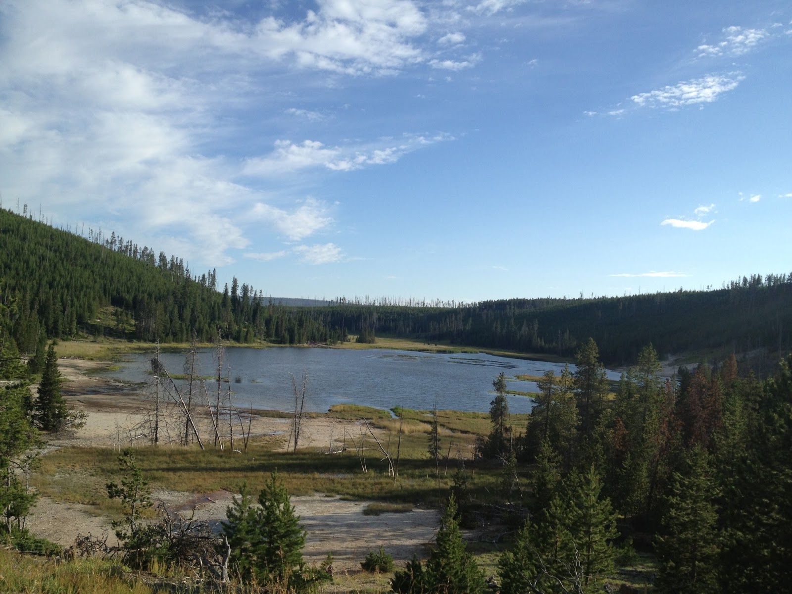
lake

more hot springs

Norris campground is on the other side of this meadow. A stream meanders through.
This place is full of wildlife and beauty. Best campground in the park.

great place to stop for dinner.

I stopped at Norris, as planned, but it was full and I was still feeling good. I had met up with my dad a few miles back and had agreed I would go to Madison Junction. He could pick me up there. We were going to camp in a small forest service campground just outside the Park (yellowstone fills up very fast in July, and it can be tough to get a campground when you don't know where you'll be).

I still stopped at Norris, partly out of nostalgia... and partly because I was hungry. I had a quick dinner of granola bar, doritos, and fruit snacks. that'll be enough to get me home. And off I went...


self portrait. (doritos bag provides evidence of a delicious dinner)


very late afternoon light near Madison Junction. I used lights.
plenty of cars on the road... but they were courteous.

sunset over the valley. I love the meandering rivers of Yellowstone.

I pushed through Madison and met up with my dad taking sunset pictures by a river.  It was a beautiful sunset, and I didn't hesitate to hop right off the bike, park it, and pull out my photo gear and start taking pictures while we had the light. ("hey, who is that guy in spandex with the camera gear?" / "I dunno, probably some weirdo... c'mon let's go") 

I had made it just over 100 miles. An all around great day... on so many levels. We packed stuff back into the car and made for camp, with a quick detour at a rundown laundromat that offered cheap showers. After mercifully *not* being murdered, I was nice and clean and very much ready for bed. It was a long day, and I wanted to be ready for tomorrow: the final day of my tour.

Monday, July 23, 2012

Day 8: Polson to Missoula


The goal today is to get to Missoula. Why only Missoula, you ask? Well, because we spent a couple extra days in Glacier National Park, I will not be able to complete my entire trip on bicycle. I'm gonna take a car from Missoula to Livingston. Yup, the illusion is shattered. I'm a big fat giant cheater. Also, the easter bunny isn't real. Sorry.
In fairness, it's 230 miles from Missoula to Livingston... and with all due respect to the beauty and grandeur of Montana... it's not an incredibly scenic stretch. Also, there is not really a good route between the two cities (the ACA map actually has me traveling on the interstate for a while. no thanks).

Anyway, Missoula makes a good stopping point because it's home to the Adventure Cycling Association - a bit of a mecca for touring cyclists (the nice folk who produce the maps I've been using).

The route would be relatively simple, but there is a decent 1,200 ft climb thrown in there (this seems like a fair time to remind you that the "big hill" on which I had trained at Castaway was 160 feet).

The climb wasn't that bad, and I had some fun descents. The wind was still in my face (seriously?!), but it wasn't very strong today... so the ride was mostly pleasant. The only drawback was the road I used was pretty busy and didn't always have a lot of extra room for cyclists. And the scenery had moved from "totally spectacular" to "very impressive". Pity.


separate bikeway for several miles out of Polson. wonderful.

the bikeway even had its own bridges to cross the busy highway (which I would later be biking down)
those teepee structures are also ramps up to the overpass

Most of the route today passes through the Flathead Native American Reservation - home to the confederated Salish and Kootenai tribes. (European explorers called them the "Flathead" people... Salish is the term they use for themselves. It means "the People").

I'm no linguist, but their language has to be one of the more complicated languages in our hemisphere. Seemingly, anyway.


mud creek
mission creek

Look at those last two signs again... your best guess: what's the word for "creek"?


check out the translation
also... these animal trails over highways are awesome for wildlife and motorists alike.

From the above photos, you can get an idea of what the ride was like. Highway 89 has room in most places, but the rumble strips make it tighter in some spots... and that truck coming under the animals' trail in the photo above gives you an idea of the traffic.

Rolling hills, decent traffic, nice views, overall a nice day, but I was glad to arrive safely.

made it.

hey! bike lane! alright!

tour cycling mecca...

door handle(bars)... I like it.

if you bike there, you are added to the "hall of fame"
... even if you look homeless

can you find me?

After our visit to the ACA, we loaded stuff in the car and headed to Bozeman - where we'd stay for the night... in the WORST motel room I've ever been to or even heard of. The worst.

Dad said he had stayed there before (!) and that it was simple/no frills... but clean and straight forward. It was not.

The motel was called the "Blue Sky Motel"... and I'm using the verb *was* because according to my recent google search has either closed or relocated. Here are a couple of the actual reviews:
"cheapest place to stay. you get what u pay for."
"scary place and really gross! good place for alcoholics and drug dealers with flea ridden dogs."

It seems worth mentioning that the Blue Sky Motel did allow pets.

I slept on a sleeping pad on the floor, in my sleeping bag... doing my best not to touch ANYTHING. I will not post pictures (of the bed, bathroom, or coffeemaker). You are welcome.

To end on a positive note: dinner at Montana Ale Works just down the street was excellent.

Also, by tomorrow night, I'll be in Yellowstone National Park

Sunday, July 22, 2012

Day 7: Glacier to Polson


Sadly, it's already time to leave Glacier National Park... I need to get to Jackson Hole in time to drive to Denver for my AP US History teachers' conference. (I had originally made an alternate plan to just stop the trip in Glacier, so we could spend a longer time in the Park... but alas... the road beckons).

Because it was so great the first time, I decided to start my day climbing Logan Pass again. Plus, it feels unfair to descend a mountain pass without having just done the work of ascending. And of course, it will be a beautiful way to enjoy the scenery.

We had moved camp from the Many Glacier area to Rising Sun campground, near the east side of St Mary Lake - this would make it easier for departure. But, then we decided to photograph sunrise at Wild Goose Island overlook. (after which, we came back to pack up camp and depart)

sunrise metaphoto

Soon after sunrise, I had packed up and was ready to roll... here we go, Logan Pass Part Deux. Considering the lack of any interesting clouds during sunrise, I had a feeling I would get better views this time around.

cold morning... departure from camp. notice anything different about my bike? there will be a quiz later...

self portrait on the road up to the Pass

Clear skies, minimal traffic (still early), crisp morning, legs feel good. 

Doesn't get much better than this.


the road rises... each bend is a new view... 

Running Chief Mountain to the left, Mount Oberlin to the right. Also, I love my bike.


remember that tunnel?

I am enchanted with the bear grass in GNP (tall white flowers on the right)... other places contain whole meadows full

dramatic peaks, cascading waterfalls, snow drifts, bear grass, dark pines... it's a wonderland.

still a bit of snow about. (this is why Going-to-the-Sun road often times doesn't open until July)

almost there... (visitor center to the left at the base of Mount Oberlin)

I did it! (again)

I had "traveled light" (the bike is still heavy) on the way up. Dad and I had planned to meet up before leaving the park so I could load up with supplies* and panniers packed for the day so that I'd be ready for the long haul to Flathead Lake.


the West side. I will be descending into that valley. blissfully.

Actually... because of the recent mud/rock slides, the descent down the West side of Logan Pass was unpleasant. There were several one-way construction zones where I had to wait for traffic (then have a long line of cars behind or in front of me). Much of the road was still very muddy, wet, gravely, or some combination therein. Not great for a fast, smooth descent. At one point my hands started to cramp from pulling the brakes so often.


road surface was not ideal for the ride down...

overlook on the West side... you can see effects of past forest fires

Dad and I had decided to meet up at Lake McDonald Lodge. it's quaint. and expensive.

can ya tell the road was a bit dirty?

I had waited a while for Dad, and started to become confused. We *did* say Lake McDonald Lodge, right? He was in a car... how had I beaten him? And how am I still waiting for him now?

Hopefully he was off getting some good wildlife photos or something, and didn't want to leave. That would be a happy excuse. But they better be some sweet pictures, because I am losing daylight (and more importantly) cool morning ride time. Where was he?

Finally, I see the silver Passat roll up. He had forgotten something in the campground. And had to go back over the pass. Now let's be clear: Logan Pass is amazingly beautiful, and is great to bike or drive... unless you want to be somewhere. In that case, it's sort of a nightmare of tourists, bad traffic, and annoyingly slow cyclists (like me!).  Poor dad.

On the upside... PIE!  (the backtrack, while terribly inconvenient, allowed Dad to swing by the beloved Park Cafe and pick up some more pie... it turns out the waiting wasn't really that bad).

mmmmmmm pie - 4 for 4... every day I was in Glacier, I consumed pie. good visit.

Finally loaded up and ready to go, I just needed to bike past Lake McDonald, and out the park... and I'd be on my way.  Lake McDonald is a fascinating (and, of course, beautiful) lake. It was carved by Glaciers (surprise surprise), and is therefore long and skinny, and incredibly deep.

It is about 470 feet deep. To put that in contrast, Lake Erie is 210 feet deep. 470 is a lot of feet. 

Lake McDonald from the road

the West end of Lake McDonald. Pretty. And deep.

After passing the Lake, it was a short ride out of the Park. I wonder when I'll go back...

so sad to leave

The route to Flathead Lake heads down mostly heavily travelled roads. They have a decent shoulder, and cars are used to seeing cyclists... but it still feels trafficky.

So, when I saw an "alternate route" on my map... I took it.

There was some gravel, but the Surly can handle gravel. It was great. Super great. The part of the route that was unpaved was hard packed... so it basically handled the same, and there are basically NO traffic. Just forest roads through the mountain country of Montana.

Now, the domiciles one passes on a road like this are fascinating. Some are obvious vacation homes... satellite on the roof, nice garage, etc. Others are residents. I mean, these people LIVE here. I kept thinking "this is basically where the Unabomber lived"... wondering things like "I wonder if they receive electricity of they're living totally off the grid at this point". I tell ya... fascinating stuff.

And the road provided it's own beautiful views and interesting experiences. At one point I crossed a bridge to see a group of amateur kayakers basically getting a lesson from someone in the river beneath me (kayak handling lesson - barrel rolls and the like). Also, they had driven all their SUVs and Trucks to the edge of the river over crazy terrain and impossibly large rocks. I kind of wanted to post a picture with a caption that said "see... THIS is what SUVs are for. not driving kids to soccer practice. either go off roading or stop wasting everyone's gas"... but I didn't want to offend too many people.

By the way, if you drive an SUV... start using it for a real purpose, or just quit wasting a limited resource. Thanks.

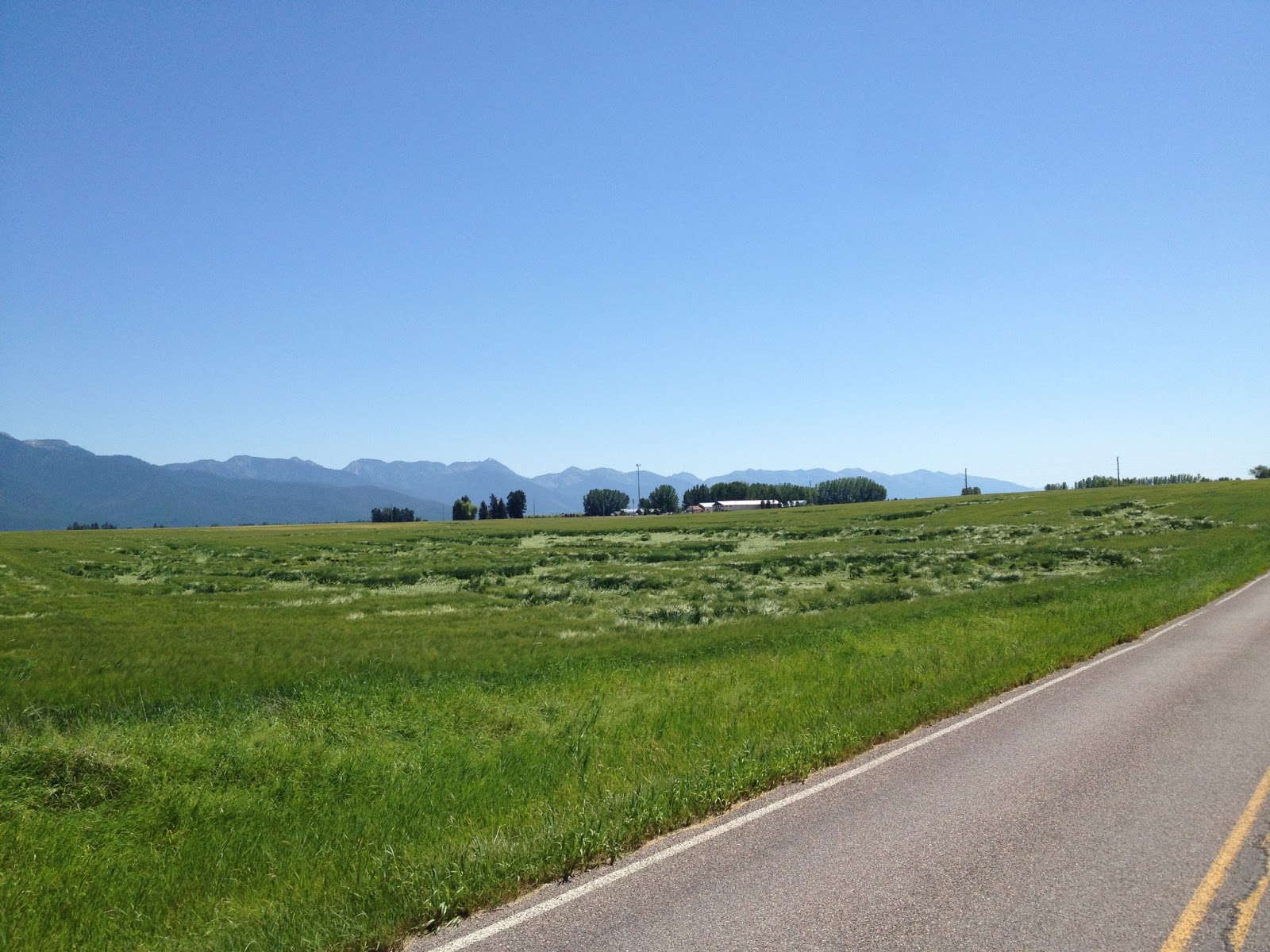
The gravel road ended in a glorious (yet gradual) descent and I joined up with the main road for a while, before taking a series of side roads to avoid traffic. Side roads are better.

dang right.

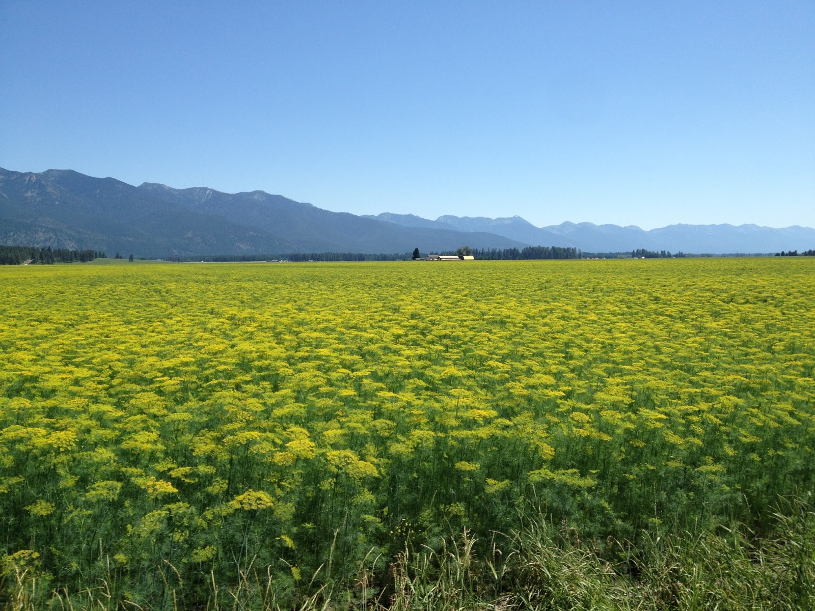
pretty fields of yellow... anyone know what this is? I think it's dill... maybe?

that's where deer had been laying down in the grass... by the way, Mission Range in the background

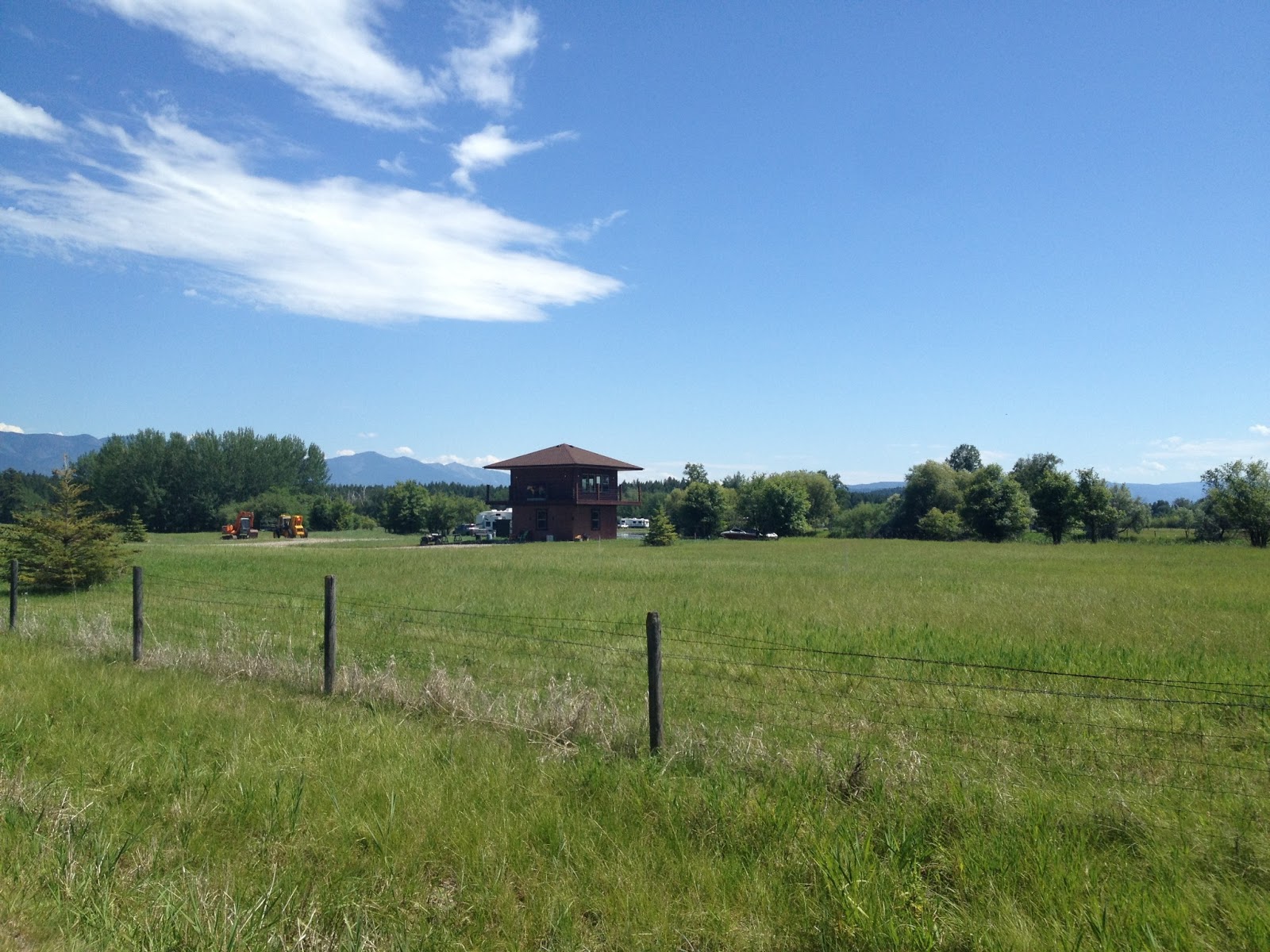
yup, that's a house (not a guard tower). someone lives there. 


I stopped at a gas station to grab some lunch cheez-its. As I rolled away and into a one-road twon called "Creston", I noticed my back tire was wobbly... and wait a minute... what is this?!?

Yup. I had a flat tire.

An annoyance to be sure. Because these tires are so well reinforced against flat, they weigh an extra POUND over already heavy tires that came with the bike. Not the wheels, mind you, my tires weigh an extra pound. (if you are unfamiliar with bicycles, just trust me when I say... that's a lot).

But, flats happen. That's why I'm prepared, I have two spare tubes, and all the tools to be able to change out the offending tube. Then, I can pump... oh no.

I didn't have my pump. I never put it on in the morning. And then, I even had the chance to make sure it was on when I loaded up at Lake McDonald... and I still didn't. Oh wow. This was next level dumb.

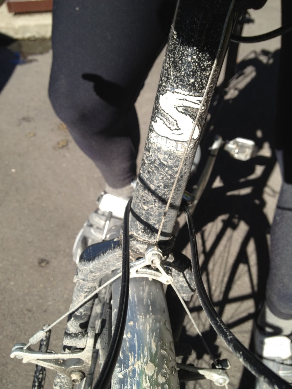
Did you notice it was missing from my departure photo above?  Here's some photo help:

that's what it should look like.

yup.

And so now I'm stranded in the middle of no where in Montana with no way to fill up my back tire. I was on a side road to AVOID traffic... so no help is coming any time soon. Luckily, unlike approximately 95% of this trip so far, I was in a small area where my cell phone actually worked (ie not Canada or Glacier). And doubly luckily, the same was true for Dad... and he wasn't that far away.

I changed out the old tube and tried to find the reason for the flat while waiting on Dad...

yyyyyyep. that's yer problem right there.
big ole staple done pop right on through

Anyway, Dad saved the day, and I was off. Relatively flat from here on out, and still scenic, but nothing compared to Glacier. I was ready to be done with this ride today.

Also, I knew the day would end near Flathead Lake Brewery... where they served (among other things) hot pretzels. Oh how I love a good hot pretzel.

The problem is the road leading down to Big Fork was a common road for logging trucks (if you haven't seen one... or thought about it... trucks that carry logs are generally relatively large). They make for unpleasant company for cyclists. But it wasn't the logging truck that almost ran me over. It was a landscaping truck that literally knocked me off the road. What a jerk. I would have tried to get his license plate or something, but my life was still flashing before my eyes.

Eventually I made it safely to Flathead Lake Brewery, where Dad was already waiting... sampling the local fare. The pretzels were delicious.

mmmmmm pretzels

We had planned to camp nearby, but it wasn't that much further to Polson... and there was a pretty nice and yet inexpensive hotel there. And that really sounded much better than camping. Plus, that's less to ride tomorrow, and I was still feeling okay. Not great, but okay.

All I had to do was ride the rest of the way around Flathead Lake to Polson.

Easier said than done.

Considering the road following the shoreline of the lake, it's amazing how undulating it was. Up and down up and down. No big climbs like Logan Pass... but those little rolling hills will take it out of your legs... especially if you've already biked 100 miles.

nice and wide here - shoulder width varied, traffic was polite... but still some tight spots

on the south side of the lake near Polson, there was a paved bike path. hallelujah.

the "Miracle of America Museum"... was I intrigued? yes. yes, I was.
but too tired - it will have to wait for another visit.

And finally, I've reached the hotel. A day that started with the ascension of Logan Pass ends 126 miles later... and (especially after 4 days of camping) I am, in every sense of the phrase, ready for bed.